The Moulton Neighbourhood Plan was passed by referendum in July 2019 and sets out how the village will be shaped until 2030. Neighbourhood Planning is UK government initiative and was introduced by the Localism Act 2011 and the National Planning Policy Framework in 2012.You can read the entire document here but the important points are shown below.
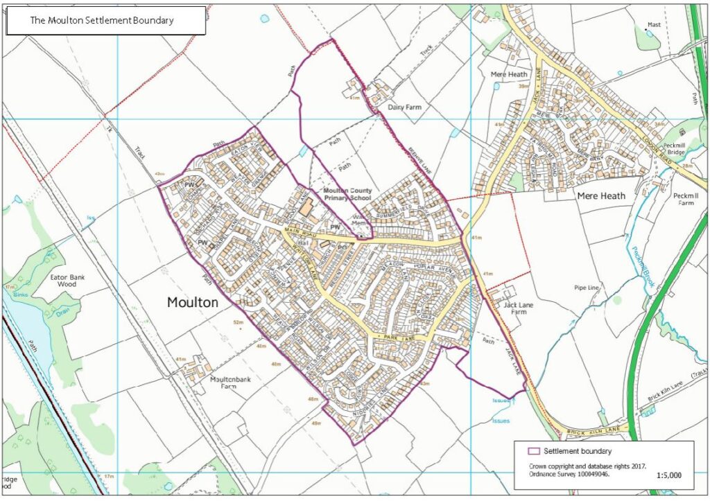
Settlement Boundary
As part of the Neighbourhood Plan, all new residental developments must be within the settlement boundary unless there is a small site containing completely 100% affordable homes adjacent to the settlement boundary (this clause was added by Cheshire West and Chester Council to stay compliant with their local plan)
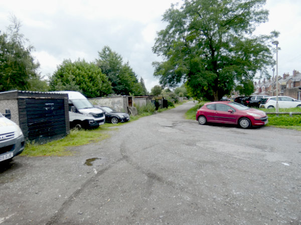
Regent Street Backs
The land to the rear of Regent Street, which is also known as the “Garage Area” will be supported in redevelopment, so long as they meet the agreed design and parking criteria in the plan. This project is moving forwards and there is hope that the new houses will be erected in 2023.
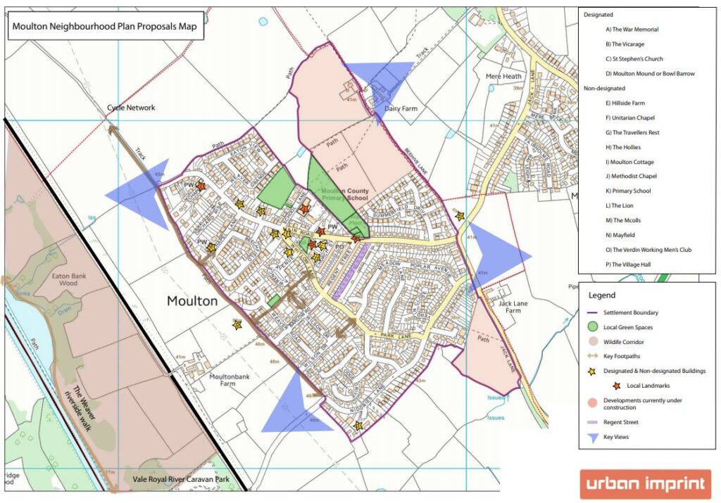
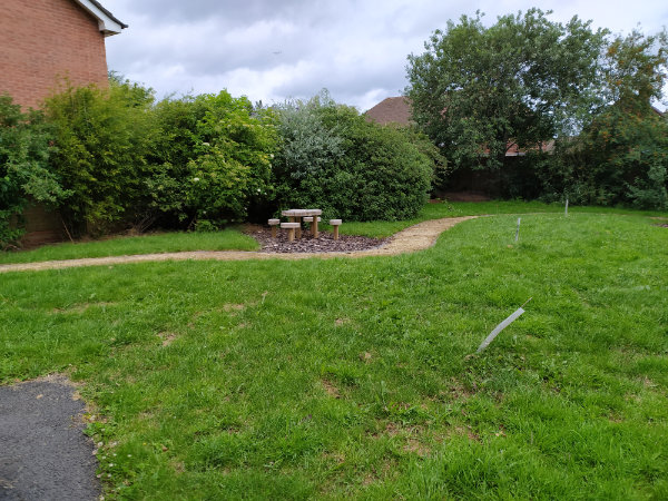
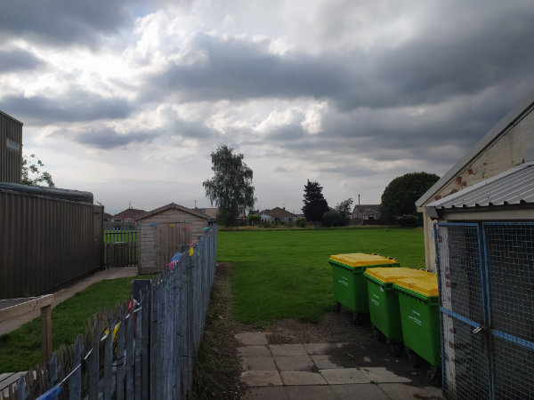
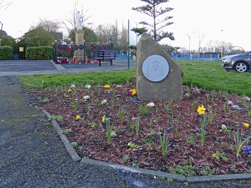
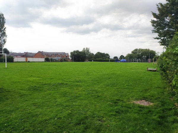
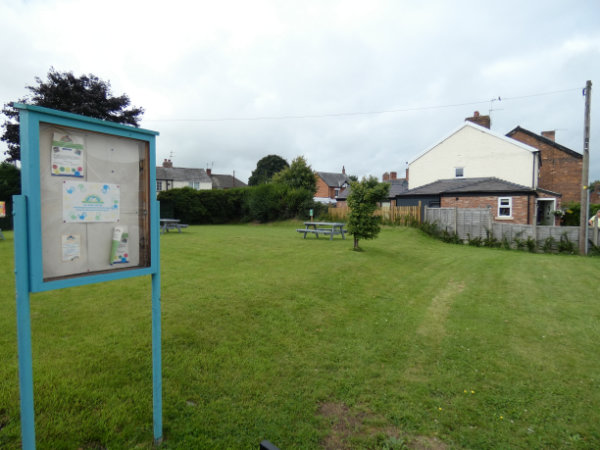
Local Green Spaces
The Neighbourhood Plan saw seven areas of the parish designated as “Local Green Spaces.” Four of these are part of a green finger that stems from Main Road and encompasses the War Memorial, the play areas and and the recreational fields. In addition, there is Moulton School playing field, the Weaver Road park and the village green, adjacent to the Village Hall.
Natural Environment and Biodiversity
The Neighbourhood Plan demands that all development proposals should consider their impact on the biodiversity of the parish and, where possible, hedgerows and trees should be preserved. All harm should be mitigated by appropriate measures.
Key Views
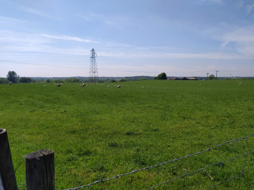
The Neighbourhood Plan has stated that any development must not have any negative impacts on the Key Views in the parish, listed as follows:
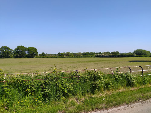
East end of Main Road looking east over farmland and Jack Lane Farm towards the Pennines and Jodrell Bank (Beehive Corner)
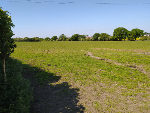
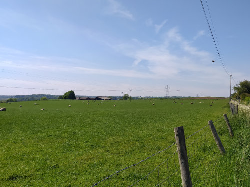
The westerly end of Main Road looking over farmland towards Eaton Hall farm and the path down to the Weaver
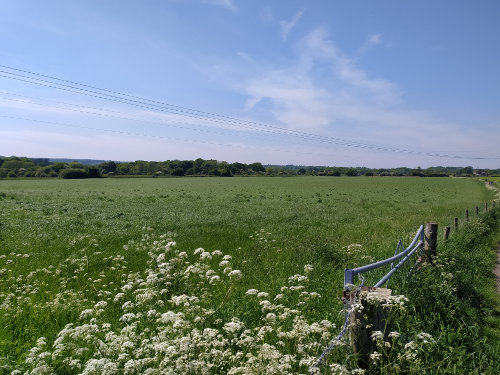
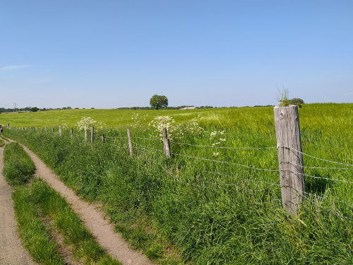
From Hillside Lane looking southwest over Moultonbank Farm towards the Weaver Navigation and Vale Royal Abbey
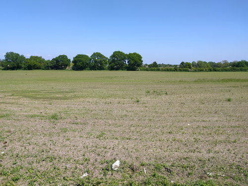
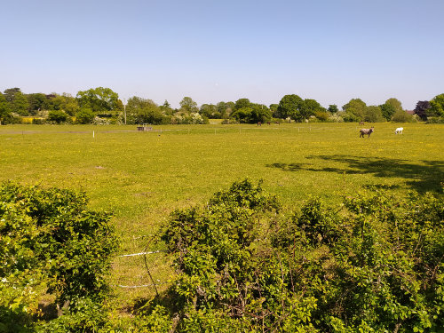
From the Playing Field looking over farmland towards Dairy Farm on Beehive Lane and Davenham