Walking
In 2000, Moulton Parish Council, in conjunction with neighbouring parishes of Davenham and Bostock produced the Millennium Map to show all the walking routes in the three parishes.
The parish of Moulton is close to the Weaver Parkway. which is an area of open green space alongside the River Weaver between Winsford and Moulton. It was created on former industrial land of brine workings and salt mining and provides a unique habitat for wildlife. Friends of Weaver Parkway are a group of volunteers who strive to make Weaver Valley Parkway a better place for us all to enjoy. The Weaver Parkway loop is a 6km walk from the village centre.
Less than a kilometre from the parish boundary is Whitegate Way, part of the Mersey Forest. Whitegate Way is a bridleway along the route of an old railway line, passing through some of Cheshire’s most attractive countryside. It runs from Winsford, and then Meadowbank, on the other side of the River Weaver, to Cuddington.
There are a number of walking routes that traverse the parish:
| Route Name | Start Point | Approx. Distance (km) |
|---|---|---|
| Beehive, Eaton Lane, Bellas Walk, Main Road | Moulton War Memorial | 4km |
| Weaver Loop | Moulton War Memorial | 5km |
| Beehive, Smokehall, Jack Lane | Moulton War Memorial | 5km |
| Beehive, Blue Bridge, Vale Royal Locks | Beehive Corner, Moulton | 7km |
| Weaver Parkway Loop | Moulton War Memorial | 7km |
| Moulton to Newbridge | Moulton War Memorial | 7km |
| Davenham Hall and Weaver Loop | Moulton War Memorial | 9km |
Cycling
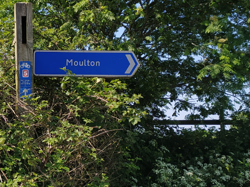
Moulton is served by National Cycle Route 5, a 366 mile route from Reading, Berkshire to Holyhead in Wales, passing through Oxford, Stoke and Chester. Click here to see the OpenCycleMap view of the village.
There are cycle hoops at Moulton Park and new cycle infrastructure is due to be installed with the new Regent Street Development.
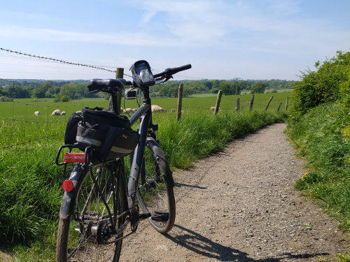
Using Niddries Lane and Weaver Way, alongside the Weaver Navigation it is possible to cycle from Moulton to the town centres of Northwich or Winsford using only lightly-trafficked or no-trafficked roads.